iCrop

iCrop is a web-based agricultural application providing crop and related information through a user-friendly geospatial interface and is designed to estimate crop yield. A user can define or digitize a field of interest and extract climate, soil and other geospatial factors important to crop production. The iCrop tool simulates crop yield under various trajectories of climate patterns represented over the last decade.
Users can define operation and management practices including tillage, nutrients, planting, irrigation and harvest methods. Users can also customize cultivar parameters for each crop. Additionally users can modify soil parameters and management techniques.
DATA
The Global High-Resolution Soil Profile Database for Crop Modelling Applications is used for soil data. iCrop utilizes three types of weather data:
- Gridded data
- Weather Stations
- California Irrigation Management Information System (CIMIS)
- Kansas Mesoscale Network
- User data
- User supplied CSV file
RESULTS
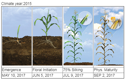
iCrop provides customizable summary graphics and reports for each of the fields and scenarios a user defines. Summary information is available for the annual simulated period, daily output, cumulative probability, growth stage and management practices. This information is provided in a summary report which can be downloaded by users.
