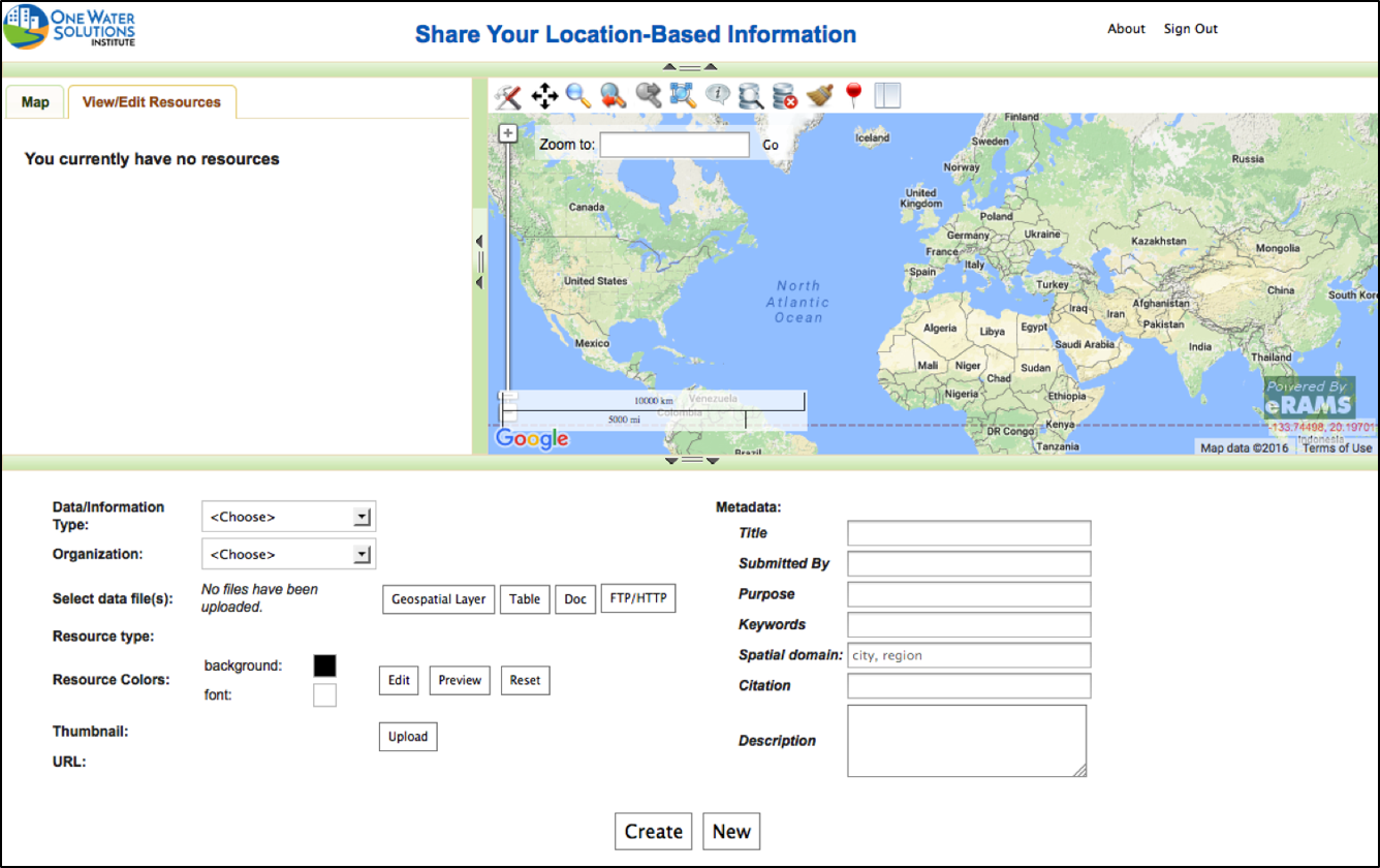
Geospatial Webpage

Our introductory workflow allows users to quickly create geospatially enabled webpages with basic capacities to:
- Upload geospatial layers
- Attach documents
- Include time series information
The platform allows basic HTML integration to customize your geowebpage, providing a unique look and feel for your geospatial resources.
Below you’ll find instructions for using our basic option for sharing location-based information.
Generate a Geopage
Explore Other Products
App Builder
Use our intermediate workflow to develop apps with simple analytics and modeling tools using Python, Javascript, CSS and HTML.
Learn More
Cloud Services

Our most advanced option for model service development, the Cloud Services Integration Platform (CSIP), empowers users to integrate more complex analytics and modeling services.
Learn More
Modeling & Analysis Tools
We provide sophisticated cloud-based software solutions as online services and an environment for development and deployment of customized online tools.
Learn More

We also provide world-class research and partnership opportunities to create sustainable solutions to plan, design, and manage water resources and linked systems more efficiently.
Visit the One Water Solutions Institute to learn more about our other areas of expertise and current research projects.


