Catena Analytics
  • GIS
    OverviewDataToolsQuick Start
  • Tools
    Software PortfolioGeoprocessingGetting Started
  • Developers
    IntroductionGeopagesApp BuilderCloud ServicesGet Started
  • Training
  • Home
  • Geographic Information System
  • eRAMS Data
  • eRAMS Public Layers
  • Census

Census

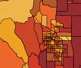
U.S. Census data for the year 1990, 2000 and 2010 are available at the state, county, tract, block group and block levels. The attributes of population and population density in terms of total, male, and female can be displayed. Other attributes, such as household number of units and size can also be explored.

Source Link:

https://www.census.gov/geo/maps-data/data/tiger.html

  • Home
  • GIS
  • Tools
  • Developers
  • About
  • Contact

Copyright©2025 Catena Analytics

Custom Web Design and Development by NerdyMind Marketing