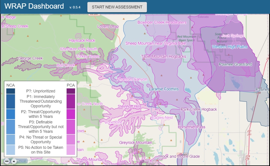
Watershed Assessment

The Colorado Watershed Rapid Assessment Program (WRAP) is a summary tool that extracts, organizes, and analyzes data and information at various watershed scales, including HUC 12, HUC 10, and HUC8 levels. Utilizing the extracted data, the WRAP tool calculates a number of watershed health indicators to create an overall summary of the watershed condition.
WRAP allows users to conduct a variety of analyses ranging from simple watershed summaries to more complex analyses such as TMDL planning and implementation.
Data
This tool summarizes readily available geospatial characteristics including land use, land cover, soils, climate, stream discharge, and water quality from various data resources including:
- Multivariate Adaptive Constructed Analogs (MACA) Statistical Downscaling Method
- National Oceanic and Atmospheric Administration (NOAA) Daily Global Historical Climatology Network (GHCN-Daily)
- Snow Telemetry (SNOTEL)
- Parameter-elevation Regressions on Independent Slopes Model (PRISM)
- USGS National Water Information System (NWIS)
- US. EPA WQX (formerly STORET)
- US. EPA 303d
- US. EPA 305b
- US. Census Bureau
- USDA National Agricultural Statistical Service (NASS)
- USGS National Land Cover Dataset and impervious cover (NLCD)
- USDA SSURGO Soils
- FEMA National Flood Hazard Layer
- Geology
- National Atmospheric Deposition Program (NADP)
- U.S. EPA Wastewater Treatment Permit Locations (NPDES)
- Colorado-specific data for:
- Stream Segmentation
- Water Quality Standards
- Water Rights
- Confined Animal Feeding Operations
- Wastewater Treatment Monitoring
- Wetlands & Riparian Zones (CNHP)
- Irrigated Agriculture
- Abandoned Mine Lands
Results
WRAP is intended to facilitate the comparison of different watersheds. The tool summarizes various time series and spatial data in a consistent format to facilitate these comparisons. The information is summarized in multiple graphs displaying time series data such as precipitation, temperature, snowpack, stream flow, water quality, and more. Additionally, interactive maps produced by the WRAP tool allow users to examine spatial data including land use, aquifer extent, soil drainage classification, impervious surface, and more. The raw data (time series, raster maps) are also available for download.
