River Hydraulics & Sediment Transport
The River Hydraulics & Sediment Transport (RHST) analysis tool extracts and analyzes a stream cross-section’s hydraulic properties and sediment transport conditions. Using a 10-meter DEM, RHST extracts a valley-scale cross-section which can be downloaded and used in further analyses and/or enhanced with user-supplied channel-scale survey data. The extracted cross-section’s hydraulic properties can be summarized for a single flow event or combined with data from a stream monitoring site.
When combined with a stream discharge record RHST creates rating curves for depth, area, hydraulic radius, and sediment transport in addition to a sediment effectiveness curve which can be used to determine the ‘effective discharge’ (peak of the curve).
The cross-section can also be modified to analyze different channel rehabilitation configurations and simulate the resulting effect on hydraulic and sediment conditions.
Data
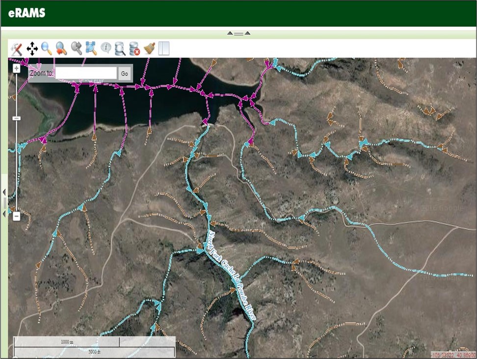
The RHST tool includes options to use the National Elevation Dataset (NED). Each cross-section point that is calculated accesses this dataset through the NED Point Query Service which calculates the elevation of a point based on its latitude and longitude. The 10-meter USGS NED Digital Elevation Map (DEM) can then be used to create and extract a cross-section. Users can select a flow duration curve source from gauge station data or use a regional flow duration curve. Alternatively, users can upload their own data to generate the flow duration curve.
In addition to using the 10-meter NED-DEM users can also upload a raster of elevation data, datasets (e.g. spreadsheet with survey points of a cross-section points), or geospatial layers.
Results
Once a cross-section has been created, the user has the ability to calculate its hydraulic properties, namely area, wetted-perimeter, top-width, hydraulic-radius, hydraulic-depth. The analysis produces a printable, interactive report and summary graphics that allow users to download the raw data or an image of the histogram. The report includes summaries for:
- Hydraulic properties
- Sediment transport
- Flow properties
- Sediment yield
- Rating curves