Salinity Information Management System
The Salinity Information Management System (SIMS) is an interactive platform providing access to salinity data and results from our research in the Colorado River Basin. Our team examined the issue of high salinity in the Colorado River Basin, a factor that significantly impacts the region’s agricultural productivity and infrastructure through corrosion. The study investigates both the natural and human-driven causes of salinity.
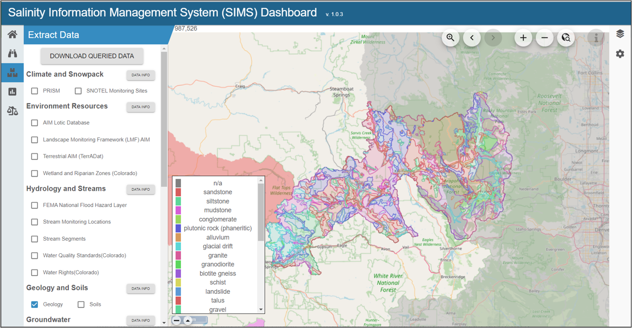
The dashboard includes three unique modules:
- Extract Data allows users to extract and summarize contextual data for a user-defined area within the CRB, offering interactive charts, tables, and maps across several contextual and salinity-related datasets.
- APEX-MODFLOW Analysis summarizes targeted modeling performed across the CRB, particularly utilizing the APEX-MODFLOW models for selected sub-watersheds, allowing users to extrapolate salt transport behaviors to the larger CRB.
- Salinity Balance Results presents a comprehensive salinity summary per component within the CRB, including surface water, subsurface, soils, and atmospheric deposition.
Methods
To forecast salinity levels in the Colorado River Basin, a comprehensive model was constructed, which utilizes data from various sources, including land use, soils, climate, and hydrography. The model’s primary soil data was derived from the Soil Survey Geographic (SSURGO) database, managed by the United States Department of Agriculture (USDA). Despite the comprehensiveness of the database, gaps in soil data, particularly in remote or under-studied areas, were present. To address these gaps, a hybrid point-disaggregation predictive soil property mapping strategy (Nauman & Duniway, 2020), was implemented to enhance the sample size, and improve prediction accuracy across the entire CRB.
The methodology for hydrologic and water quality modeling was bifurcated into two primary approaches: process-based models and machine learning models. Process-based models, namely APEX-MODFLOW and SWAT+ national model, were used to simulate hydrology, salinity, and predict streamflow in specific watersheds in the CRB and across the entire basin, respectively.
For machine learning models, a diverse set of eleven algorithms was implemented, including linear regression, decision tree, support vector machine, random forest, gradient boosting, extreme gradient boosting, k-nearest neighbors, Gaussian process, Bayesian model, ridge regression, and neural network. Each model was trained to predict river salinity using available data and evaluated using a rigorous cross-validation technique.
Data
Developing a reliable model for predicting salt levels in the CRB requires the integration of multiple types of data, each of which offers distinct insights into the complex dynamics of the Basin. The data assembled for this project, spanning diverse domains such as land use, soils, climate, hydrography, stream and river discharge, water quality, groundwater levels, and point sources, has been instrumental in training the model and enhancing its predictive accuracy. Each category of data contributes a piece to the puzzle, creating a comprehensive picture of the CRB’s ecosystem and informing the prediction of salt levels at any point in the stream.
- Land Use: Moderate Resolution Imaging Spectroradiometer Irrigated Agriculture Dataset for the United States (MIrAD-US)
- Soils: Soil Survey Geographic (SSURGO)
- Terrain: National Elevation Dataset
- Land Cover: 2019 National Land Cover Database (NLCD)
- Climate: Parameter elevation Regressions on Independent Slopes Model (PRISM)
- Water Quality, Stream and River Discharge: Flow and salinity data from the USGS Streamgaging Network dataset spanning from 2000 to 2020 were incorporated in this study.
- Groundwater: Groundwater level data from the USGS was sourced for this study, with around 5000 wells selected across the Colorado River Basin
- Point Sources: US EPA Enforcement and Compliance History Online (ECHO) database, focused on wastewater treatment facilities
- Hydrography: Digital elevation model (DEM) was employed for delineation of catchment boundaries around the selected USGS gauges