River/Stream Discharge and Water Quality Analysis
Our suite of comprehensive water quality assessment tools allow users to analyze various aspects of streamflow data including statistical analysis and regression, flood frequency, base flow separation, flow duration curves, and load estimation. Use the Comprehensive Flow Analysis tools to examine:
- River discharge and water conditions
- Ambient water quality
- Drought duration and intensity
- Water quality load estimation
- Flood frequency
Data
Stream monitoring stations from the USGS National Water Information System (NWIS) and EPA’s STOrage and RETrieval and Water Quality eXchange (STORET-WQX) databases are available for selection and analysis. Our tools can also be used to download stream flow (daily average or 15-minute), water quality, and annual peak discharge data.
Results
Users can view results and model outputs in a variety of options including:
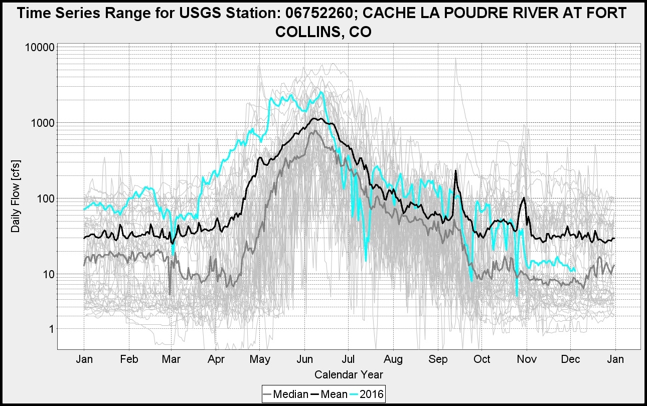
- Time series graphs
- Envelope plots
- Histograms
- Cumulative distribution function (CDF) graphs
- Flood and drought magnitude-frequency plots
- Duration curves