Projects

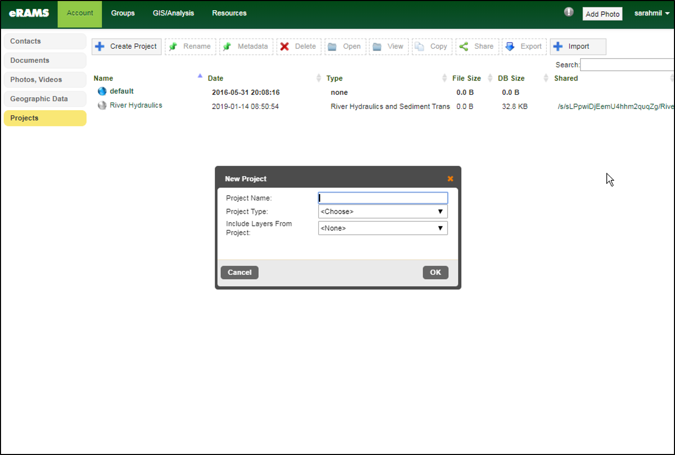
Projects are combinations of geospatial data, tables, and modeling tools. Projects can be private or shared with other registered account users to work in a collaborative environment. Geospatial information can also be shared between projects and files can be imported to new projects.
Here you’ll find a few examples of how to use projects and get started managing private and shared digital resources, geographic data and performing cooperative analyses.
Working with Projects
Explore Other Services
Geographic Information Systems

A web-based platform for creating, organizing, and sharing geographic data with capacities for accessing publicly available data and so much more!
Learn More
Software Portfolio
We provide sophisticated cloud-based software solutions as online services and an environment for development and deployment of customized online tools.
Learn More
Data Analytics & Modeling

State of the art modeling and software packages, data hosting and storage solutions for environmental resources planning and management.
Learn More

We also provide world-class research and partnership opportunities to create sustainable solutions to plan, design, and manage water resources and linked systems more efficiently.
Visit the One Water Solutions Institute to learn more about our other areas of expertise and current research projects.
