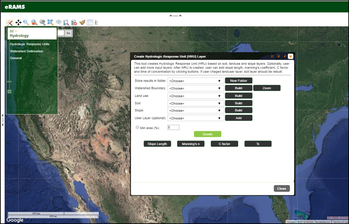
Hydrologic Response Unit

Hydrologic Response Unit (HRU) Delineation Tool creates HRUs based on soil, land use and slope layers to calculate slope length, manning’s overland flow coefficient, C factor and time of concentration. The HRU layers include information on land use, hydrologic soil group, soil texture, average slope, curve number, area, and perimeter.
HRUs are calculated as adjacent and unique combinations of pixels from input layers. Users can also merge smaller HRUs less than given threshold to the adjacent and larger HRUs.
Data
The HRU tools allows users to select from a wide variety of data inputs including:
- National Land Cover Database (NLCD 2016)
- NASS CropScape
- NASS Cropland
- Soil Survey Geographic (SSURGO)
