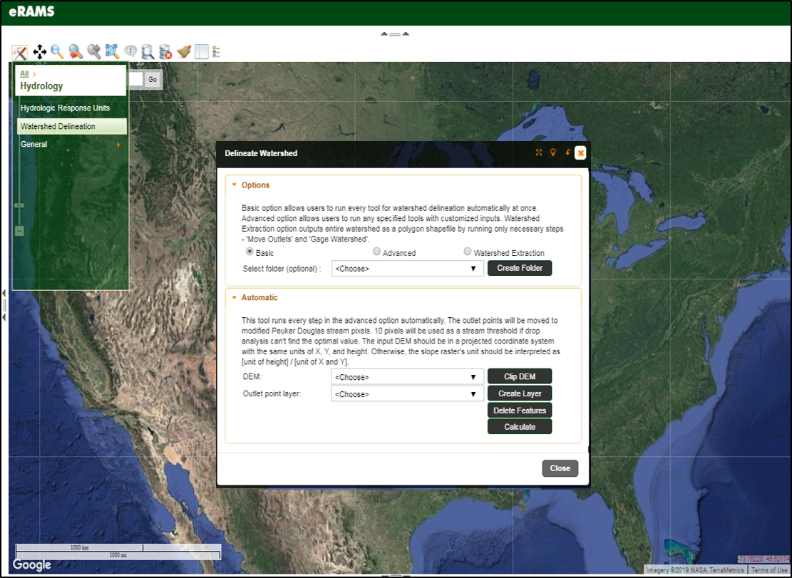
Watershed Delineation

The Watershed Delineation Tool processes and analyzes Digital Elevation Model (DEM) and DEM-driven rasters to delineate a watershed. The tool provides not only watershed boundary but also useful hydrologic information for a defined boundary to users.
There are three delineation options to accommodate a variety of user needs. The basic option allows users to simultaneously run individual procedures and automatically execute every step using default inputs. The advanced option allows users to execute any individual steps but customize their inputs. The simplified watershed extract option can be used to rapidly create a watershed boundary.
The watershed delineation tool allows users to conduct the following operations:
- Compute flow direction and accumulation
- Conduct grid analysis
- Conduct stream network analysis
- Extract streams and channel networks
- Gage watershed
