POLARIS
Polaris characterizes the relationship between land use and water consumption to enable scenario planning. Population, land use, zoning, and water metering data are assessed over user-defined assessment areas like water supply utility service boundaries. Advanced Machine Learning (ML) techniques are used to compute indoor and outdoor water use, water use by appliances and other building components, and landscape irrigation.
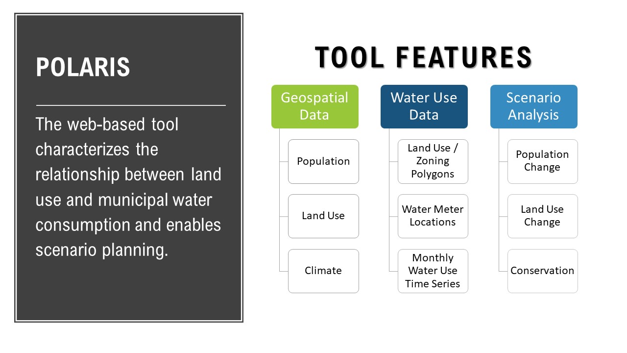
Key Features:
- Land use and population change assessment
- Water consumption trend analysis
- Water consumption spatial pattern analysis
- Characterization of indoor and outdoor water consumption
- Characterization of water consumption intensity metrics
- Water consumption Forecasting
- Water supply-demand assessment
- Scenario planning
Outputs
Polaris characterizes water use intensity metrics and land use indicators to quantify temporal trends and spatial patterns in water consumption. These relationships are then used to forecast future water demands over a range of current and future conditions.
Scenario-building capacities in Polaris enable integrated land use and water supply planning. For example, Polaris can be used to integrate water supply planning with comprehensive and master planning processes, sub-area plans, three-mile/growth area plans, water supply master plans, water efficiency plans, and other planning activities within municipal or water provider service areas.
The tool also examines the influence of projected land development plans, land use policy, and zoning regulations on municipal water use.