Quick Start

Working with maps in eRAMS is easy and intuitive. Our platform provides automated access to several publicly available datasets and geospatial layers from a variety of open-source providers. We offer numerous mapping and geospatial analysis tools for common operations and geoprocessing needs. Users can create geospatially enabled webpages with options to include time series information.
Here you will find introductory materials to get familiarized with the fundamental components of our platform to create maps and begin working with basic GIS features.
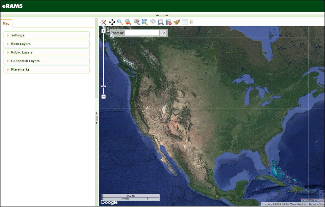
eRAMS GIS Interface
Make a Map
To get the greatest utility and benefit from our GIS services first create a free account and then follow the simple workflow below to get started making maps and sharing information.
Create a new map canvas by entering the GIS Analysis interface or login to your eRAMS account and select “GIS/Analysis” from the top menu.
Explore Other Services
Data Analytics & Modeling

State of the art modeling and software packages, data hosting and storage solutions for environmental resources planning and management.
Learn More
Developer Packages

We offer a variety of developer packages ranging from customized geospatially-enabled webpages to intermediate app development and advanced programming environments.
Learn More
Content Management

Create, organize and share information seamlessly using our web-based platform with options for managing private and shared digital resources.
Learn More


