Tucson Region Green Infrastructure Database
Authors
- Mandla Kunnie – University of Arizona
- Thomas Meixner – University of Arizona
Purpose
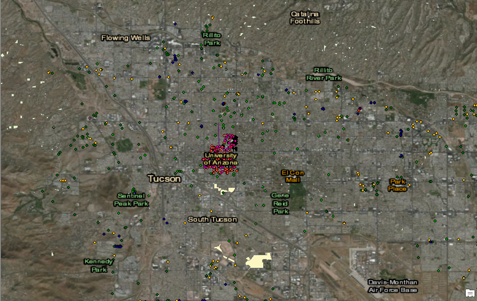
Catalog properties and locations of green infrastructure from various agencies in the Tucson metropolitan region. Developed using a systematic classification scheme – types of GI include- detention basin, swales, curb cuts, rain gardens, chicanes.
Description
Green infrastructure entries are data points or polygons in an arc-GIS layer. The underlying data in the layer comes from several sources. Pima County flood facilities are included as, Tucson water rebate data related to construction of green infrastructure to capture water on site for vegetation growth, county landscape permit data, University of Arizona water storm management systems that involve constructed GI systems.
Attributes
Layer information includes location, area, depth, construction method, date of installation, ownership of facility, and in some cases drainage area to system.